Tools and software
To view the repositories for the tools and software developed by the HydroLab group, by looking here:
HydroGeomorphology Tools for QGIS
The ‘HydroGeomorphology Tools’ plugin for the open-source software QGIS has been developed, in collaboration with the Hydrogeomorphology research group of the CNR-IRPI institute in Padua, to support hydrological and hydraulic-forestry design in mountain catchments. The plugin provides an integrated suite of tools for hydro-geomorphological analysis, hydrological design, multi-temporal analysis of Digital Elevation Models, and the watershed management . The plugin was developed thanks to the iNEST project- Interconnected Nord-Est Innovation Ecosystem (https://www.consorzioinest.it), funded by the European Union – Next-GenerationEU under the PNRR M4C2 Investment 1.5 funding scheme, and the TORRENT project (Best common pracTices for risk reductiOn in toRRent watErshed management, https://www.ita-slo.eu/torrent), funded under the Interreg VI-A Italy–Slovenia programme.
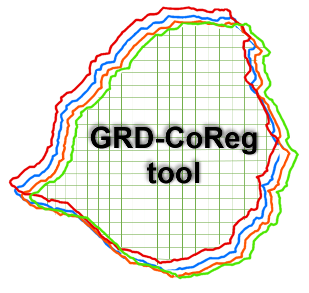
GRD-CoReg
GRD-CoReg is a tool developed by the HydroLab group (Cucchiaro et al., 2020; GIScience Remote Sensing), that enables the co-registration of multi-temporal Digital Elevation Models (DEMs) against a reference DEM.
EISModel
EISModel is a distributed model that simulates the accumulation and melting of snow and ice on an hourly or daily basis, using meteorological and morphometric data (Cazorzi and Dalla Fontana, 1996; Journal of Hydrology).